3D Scanning Deformation Measurement Radar
3D Scanning Deformation Measurement Radar
3D Scanning Deformation Measurement Radar
- Product Overview
Technical Specifications
• Scanning Angular Coverage: 360°×90° (Azimuth × Elevation)
• Maximum Detection Range: 300m
• Range Resolution: 7.5cm
• Range Measurement Accuracy: ≤5cm
• Angular Resolution: 3.5°
• Angular Measurement Accuracy: ≤1°
• Deformation Measurement Accuracy: ≤0.1mm
• Single Scan Time: ≤3min
• Stare Detection Capability: Data Update Rate ≥50Hz
• 3D Scene Mapping & Reconstruction: Supported
• Output Data: 3D Scene Model, 3D Scattering Image, 3D Deformation Image
• Power Consumption: ≤12W
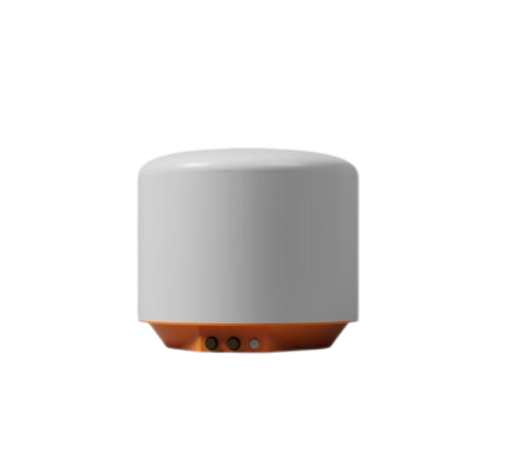
• Dimensions: 20cm (H) × Φ32cm (D)
• Weight: ≤6kg
Main features
Adopting millimeter wave continuous wave radar system, it can work 24/7 without being affected by construction and rescue site smoke, fire, etc., and not limited by lighting conditions, with good environmental adaptability;
By using high-resolution 3D radar imaging methods, fine imaging of the 360 ° × 90 ° hemisphere space can be achieved, enabling 3D reconstruction of the detection scene with a surveying accuracy better than 5 centimeters (radial);
By using microwave phase interferometry measurement method, the deformation measurement accuracy can reach 0.1 millimeters, and the deformation field can be directly superimposed on the three-dimensional scene model obtained locally;
Equipped with adaptive atmospheric disturbance estimation and compensation algorithms, with a 24-hour calibration error not exceeding 1.5 millimeters (RMS);
It has configurable data update and upload rates, and can flexibly choose between response time, radar power consumption, and transmission rate;
Can be adapted to external camera monitoring equipment to collect and monitor images or videos of hidden danger areas, achieving lightning and video fusion monitoring;
The overall protection capability of the machine reaches IP66, with a working temperature of -25~55 ℃ (expandable to -40~65 ℃), suitable for long-term unmanned outdoor work.
Application Cases

Tel:173-7313-8865
E-mail:marketing@hnghz.cn
Address: Room 307, Block B, Building 1, Kaile Weigu Business Center, No. 485 Qifeng Road, Wujialing Street, Kaifu District, Changsha City, Hunan Province

Copyright ©2024 Hunan Jihe Information Technology Co., Ltd. All rights reserved